
Planning Services
Land Use
The Land Use Planning division at SMPDC offers an array of services to the 39 municipalities and numerous other organizations within our jurisdiction. Services include: Comprehensive Planning and Land Use Ordinance assistance, Planning Board and Technical Planning support and Board workshops.
Comprehensive Planning
Municipalities are often seeking to update their Comprehensive Plan in order to assure that they are best situated to achieve the type of growth they are seeking for their community. We are able to assist our member communities going through the revision process and welcome the opportunity to provide professional assistance in any way that we can or we can take the lead role in preparing a plan for the committee. We can accommodate the Towns’ needs however you wish to proceed.
Ordinance Revision
Communities have a number of tools that they can use to implement the Goals and Policies identified in their Comprehensive Plan. Examples include the Land Use Ordinance, Subdivision Ordinance and Shoreland Zoning Ordinance. We can assist with the development and rewriting of these and other ordinances to make sure that that the municipality is achieving their identified objectives. SMPDC has a great deal of information in our tool box that we can share with municipalities to help them with their desired outcomes.
Planning Board Support
Staff at SMPDC often provides Planning Board support for our municipalities. Whether it is on a continuous basis or for a special project, we can serve as “staff” to the Planning Board to help facilitate a smooth review process.
Technical Assistance/Facilitation
We are happy to provide support for Planners, CEOs, Town Administrators and Elected Officials. Regardless of whether it is a quick question or an issue that requires more engagement, we can provide guidance to help addresses issues that arise. Often members of the Land Use team are engaged to facilitate a series of meetings to work on a particular problem that a community needs to solve on a short term basis. Given our experiences with a variety of Towns and Cities, and our "out-of-town" status, our planners can provide the leadership needed to conduct a productive public discussion.
Board Workshops
We are always happy to help facilitate training opportunities for groups such as the Planning Board, Board of Appeals and other special purpose committees. Training approaches vary and range from one or two-hour workshop to all-day sessions.
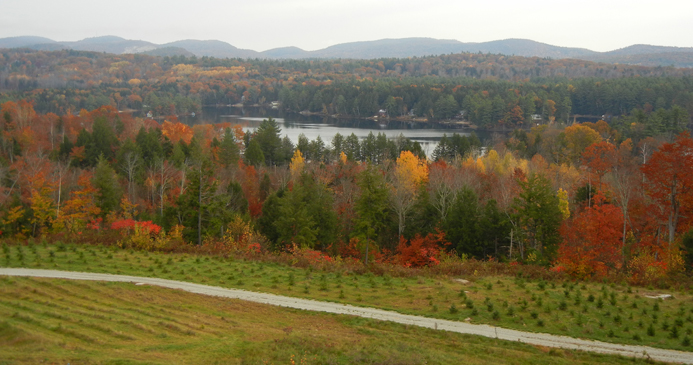
Open Space and Conservation Planning
SMPDC has been engaged in conservation and open space planning for over thirty years. SMPDC was instrumental in the initial conservation efforts at Mt Agamenticus in 1980. Those efforts and have led to the preservation of over 6,000 acres of property now available for recreation, hiking and the preservation of water quality in the region. Most recently SMPDC helped the Mt A Steering Committee update their trail plan with recommendations on capital investment and management.
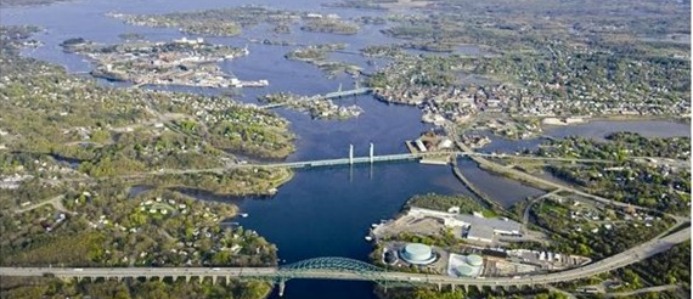
Other efforts have included providing support to the Three Rivers Land Trust on a strategic plan and mapping for the organization. Additionally, SMPDC has worked on Open Space and Conservation Plans for the towns of Eliot and South Berwick and also assisted in the development of a regional Conservation Plan with the Piscataqua Region Estuaries Partnership.
All this work includes working with the best available data from various state, federal and local sources and producing GIS based information and analysis which assist local communities indentifying and prioritizing their most important natural resources. Such works helps towns, land trusts and others apply for state and federal grants for land conservation and also aids local planning Boards in their review of development projects and in comprehensive planning.
SMPDC is now looking at a more regional conservation focus in the coastal zone of York County, once again prioritizing properties and seeking stakeholder input on those resources and areas most important to a sustainable development pattern in the region.
Some of our work product associated with Conservation and Open Space Planning is linked below GIS maps of conservation lands and conservation data can also be found in the GIS/Mapping section.